Chiba
千葉県
Start here
What to know about Chiba
The Bōsō Peninsula, enclosed on three sides by Tokyo Bay and the Pacific Ocean, reveals a surprising range of scenery despite being just one to two hours from central Tokyo. You can walk through the dramatic remains of clifftop quarries, follow the aroma of grilled eel at the gates of a temple with over a thousand years of history, and drift by boat through a waterside town that still carries the atmosphere of the Edo period. At the warm southern tip of the peninsula, flowers begin blooming as early as midwinter, offering some of the earliest hints of spring in the Kantō region.
Mount Nokogiri and Nihon-ji Temple
Mount Nokogiri is a 329-meter peak straddling the city of Futtsu and the town of Kyōnan in the southwestern part of the Bōsō Peninsula. Used as a quarry for Bōshū stone from the Edo period through the Shōwa era, the exposed rock faces where stone was cut away form jagged cross-sections resembling the teeth of a saw — hence the mountain’s name. The grounds of Nihon-ji Temple spread across roughly 330,000 square meters from the mountainside to the summit. Founded in 725 during the Nara period, the temple ranks among the oldest in the Kantō region.
Near the summit, the lookout point known as Jigoku Nozoki (Hell’s Peep) juts out over the edge of a sheer rock wall, offering a vertiginous view straight down to Tokyo Bay. In the Great Buddha plaza sits a 31.05-meter-tall relief Buddha carved into the rock face, depicting Yakushi Ruriko Nyorai (the Medicine Buddha). It surpasses both the Great Buddha of Kamakura and the Great Buddha of Nara in height, making it one of the largest stone Buddhas in Japan. A ropeway whisks visitors to the summit station in about four minutes, so the mountaintop area is easily accessible even for those without much stamina. That said, the temple’s stairways are steep in many places, so be sure to wear comfortable walking shoes.
Naritasan Shinshō-ji Temple and Its Approach
Naritasan Shinshō-ji is a head temple of the Shingon-shū Chisan-ha sect of Buddhism, founded in 940. It draws around 10 million visitors per year. During the first three days of the New Year alone, roughly 3 million people come for hatsumōde (the traditional New Year’s visit), putting Shinshō-ji among the most visited temples in the country alongside Meiji Jingū in Tokyo. The principal image, a statue of Fudō Myōō (the Immovable Wisdom King), is believed to date from the Heian period and has been enshrined before the sacred fire since the temple’s founding, never once concealed as a hidden Buddha. The goma fire ritual held daily in the main hall allows visitors to witness monks chanting sutras before blazing flames at close range — a spectacle whose intensity needs no religious background to appreciate.
Beyond the main temple grounds, Naritasan Park unfolds as a Japanese garden spanning roughly 165,000 square meters, changing hues with each season through plum blossoms, cherry blossoms, wisteria, and autumn foliage. From late February through March, some 500 plum trees come into bloom, and during the plum festival, outdoor tea ceremonies and live performances are held in the garden.
The roughly 800-meter omotesandō (main approach) stretching from JR Narita Station to Shinshō-ji is a monzenmachi (temple town) lined with over 150 shops. Watching eels prepared fresh at storefronts is one of Narita’s signature sights, and long-established restaurants that have been serving eel to pilgrims since the Edo period continue to operate today. Shops selling traditional sweets such as amazake (sweet fermented rice drink), senbei (rice crackers), and yōkan (sweet bean jelly) are also plentiful, so simply walking the approach offers a taste of Chiba’s food culture.
The Historic Townscape and Boat Tours of Sawara
The Sawara district in Katori City is a merchant town that thrived during the Edo period as a hub for river transport on the Tone River. The area along the Ono River and Katori Kaidō road has been designated a Nationally Designated Important Preservation District for Groups of Traditional Buildings, with white-walled storehouses and lattice-fronted merchant houses lining roughly 600 meters of streetscape. What sets this preservation district apart is that the buildings are not preserved as museum pieces — they remain in active use as shops and restaurants. Because everyday life and commerce continue here, you can walk the streets and feel the atmosphere of the Edo and Meiji periods as a living reality.
The Sawara boat tour takes you along the Ono River in a hand-rowed boat, offering a view of the townscape from water level, framed by trailing willow branches. The ride lasts about 30 minutes, and as the boatman narrates the town’s history, the gentle glide along the water gives a perspective quite different from strolling the streets on foot. After disembarking, consider visiting the former residence and memorial museum of Inō Tadataka, the surveyor born in Sawara. Inō set out after the age of 50 to walk the length of Japan and completed the country’s first surveyed maps — the exhibition tracing his journey is sure to impress with its sheer scale, even for those with no particular interest in cartography.
Sawara is also known for the Sawara Grand Festival, held each year in July and October. Counted among the three great float festivals of the Kantō region and registered as a UNESCO Intangible Cultural Heritage, the festival features floats topped with figures standing roughly 9 meters tall, paraded through the Edo-era streets. On festival days, Sawara’s usual tranquility gives way to the melodies of Sawara-bayashi festival music and the energy of the gathered crowds.
The Flower Fields and Early-Spring Coastline of Southern Bōsō
The stretch from Tateyama City to Minamibōsō City at the southern tip of the Bōsō Peninsula enjoys a warm climate year-round thanks to the Kuroshio Current. By January, stocks, calendulas, and poppies are already in bloom, making this one of the first places on Honshū to welcome spring. From late December through March, the flower fields of Chikura and Shirahama offer flower-picking experiences where you can cut your own bouquet and take it home. The chance to pick fresh flowers in the middle of winter, all within a day trip from Tokyo, is something only the warm tip of this peninsula can offer.
Turning from the flower fields to the coastline, Nojimazaki Lighthouse stands on a point jutting into the Pacific. Designed by a French engineer and first lit in 1870, the lighthouse rewards those who climb its spiral staircase with a sweeping view of the Pacific horizon curving into the distance. Okinoshima in Tateyama City is an uninhabited island that became connected to the mainland by a sandbar after the Great Kantō Earthquake of 1923 caused the seabed to rise. The waters surrounding the roughly one-kilometer circumference of the island lie at the northern limit of coral distribution, and the clear, shallow sea makes it a popular spot for snorkeling.
Zoom in
Areas in Chiba
Neighborhoods and districts to explore

Location
Where is Chiba?
Chiba Prefecture is located in the southeastern part of the Kantō region, centered on the Bōsō Peninsula, which is surrounded on three sides by the Pacific Ocean and Tokyo Bay. The prefectural capital is Chiba City, which became a government-designated city in 1992. As of January 2025, approximately 6.27 million people call the prefecture home, making it the sixth most populous in Japan. Its area of roughly 5,157 square kilometers ranks 28th nationwide, yet it exceeds the combined area of Tokyo and Kanagawa Prefecture.
The most striking geographic feature is the remarkably gentle terrain across the entire prefecture. Even Mount Atago, the highest peak, reaches only 408 meters above sea level — the lowest prefectural high point in all of Japan. While the Bōsō Hills extend across the southern part of the peninsula, broad plateaus and lowlands forming part of the Kantō Plain stretch from the north through the central areas. Along the eastern Pacific coast, Kujūkuri-hama beach traces a sweeping arc over approximately 66 kilometers, while the western side faces the calm waters of Tokyo Bay.
The climate is oceanic, tempered by the seas on three sides, and mild throughout the year. The southern Bōsō coastline in particular benefits from the Kuroshio Current flowing offshore, keeping frost to a minimum even in winter. In summer, sea breezes moderate the heat, making coastal areas noticeably more comfortable than the inland regions. Snowfall is extremely rare, and with average January temperatures hovering around 5°C even in the northern part of the prefecture, Chiba enjoys one of the mildest winters in the Kantō region.
Loading map...
Access
Getting to Chiba
Chiba Prefecture is home to Narita International Airport, Japan’s main international gateway, making it one of the most accessible prefectures for overseas travelers. From the airport, the Keisei Skyliner reaches Nippori Station in as little as 36 minutes, while the JR Narita Express takes about 60 minutes to Tokyo Station. In other words, it takes only a short journey from Tokyo to reach the sightseeing destinations within Chiba.
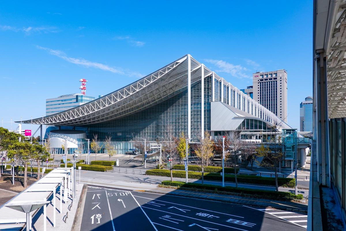
From Tokyo Station, the JR Sōbu Line Rapid Service brings you to Chiba Station in roughly 40 minutes. The Keiyō Line gets you to Kaihimmakuhari Station, home of Makuhari Messe, or Maihama Station, the gateway to Tokyo Disney Resort, in around 30 minutes. The JR Uchibō Line runs toward Tateyama and Kyōnan in the south of the prefecture, while the JR Sotobō Line and JR Sōbu Main Line serve the Kujūkuri and Chōshi areas, so it is entirely possible to visit the major sightseeing areas by train alone.
Local bus routes and sightseeing loop buses are a convenient way to get around to the prefecture’s various attractions. In Chōshi, the Chōshi Electric Railway runs a short line out to Inubōsaki, offering a charming local railway experience. In the southern Bōsō area, express buses connect Tokyo Station and Chiba Station with key sightseeing spots, filling in the gaps for destinations not easily reached by train. Taxis are relatively easy to find around the main tourist areas, making them a good option for small groups.
Local pride
Specialty Products
Surrounded by the sea on three sides and blessed with expansive plateaus and a mild climate, Chiba Prefecture is one of Japan’s leading producers in both agriculture and fisheries. The well-drained volcanic ash clay plateaus stretching from the north through the center are ideal for growing legumes, root vegetables, and fruit, and the prefecture has long served as a major hub of suburban agriculture supplying the Tokyo metropolitan area. Fishing ports along the Pacific-facing eastern coast have thrived on migratory fish catches since ancient times, and the prefecture is home to harbors boasting some of the highest landings in the country. In the warm southern Bōsō area, fruit cultivation has deep roots — the climate is mild enough to grow subtropical fruit trees in open fields. The water transport provided by the Tone River and the humid climate nurtured a fermentation industry, and brewing has added lasting depth to the prefecture’s food culture.
Food
Crafts & Others
Through the ages
History of Chiba
In ancient times, the territory that is now Chiba Prefecture was divided into three provinces: Kazusa, Shimōsa, and Awa. The word fusa is an archaic term for hemp, reflecting the crop’s long history of cultivation in this region. The province closer to the capital was called Kami-fusa (Upper Fusa), and the one farther away Shimo-fusa (Lower Fusa). Awa, at the southern tip of the peninsula, is said to have been settled by people who came from Awa Province. The provincial capital of Kazusa is believed to have been located near present-day Ichihara City, and the area maintained maritime links with the capital across Tokyo Bay from early on.
In the medieval period, the Chiba clan rose to prominence after supporting Minamoto no Yoritomo’s campaign to raise an army, building a formidable power base centered on Shimōsa Province. The city of Chiba itself takes its name from this clan. Meanwhile, in Awa in the southern peninsula, the Satomi clan expanded their influence from the mid-15th century onward and clashed with the Hōjō clan for control of the Bōsō region during the Sengoku period. It was this Satomi clan that inspired Kyokutei Bakin, an Edo-period author, to spend 28 years writing “Nansō Satomi Hakkenden” — a sprawling epic spanning 106 volumes. Set in Awa, this adventure tale of eight warriors remains a classic of Japanese literature to this day.
During the Edo period, the town of Chōshi flourished as a center of soy sauce brewing, taking advantage of water transport on the Tone River, while sardine seine net fishing along Kujūkuri-hama reached an unprecedented scale. At its peak, tens of thousands of fishermen worked the beaches, and dried sardines circulated across the country as fertilizer. After the Meiji Restoration, Inba Prefecture and Kisarazu Prefecture merged in 1873 to form present-day Chiba Prefecture. The prefectural office was established in the town of Chiba, and from then on the prefecture continued to develop around suburban agriculture and fisheries. The opening of Narita Airport in 1978 transformed the prefecture, and as Japan’s international air gateway handling tens of millions of passengers annually, Chiba took on a prominent role on the global stage.
Continue exploring
Discover other areas and hidden gems across Kanto Region.